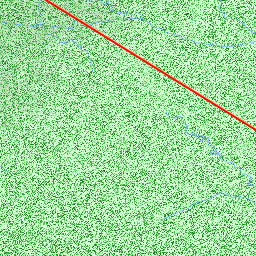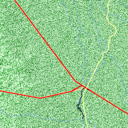


Nearby Airports


| Code | IATA | Kind | Name | City | Distance | Bearing | Airlines |
|---|---|---|---|---|---|---|---|
| YTGI | Small | Trangie Airport | 7 nm S | 173 | |||
| YWRN | QRR | Medium | WARREN | 11 nm W | 307 | ||
| YGLN | Small | Glencoe Airport | 17 nm N | 38 | |||
| YHRG | Small | Haddon Rig Airport | 23 nm N | 348 | |||
| YNRM | QRM | Medium | NARROMINE | 25 nm S | 150 | ||
| YSDU | DBO | Medium | DUBBO | Dubbo | 37 nm E | 126 | Air Link, Eastern Australia Airlines, FlyPelican, JETGO Australia, QantasLink, Regional Express |
| YXGR | Heli | Gilgandra Multi Purpose Service Helipad | Gilgandra | 35 nm E | 76 | ||
| YXPH | Heli | Peak Hill Hospital Helipad | Peak Hill | 54 nm S | 168 | ||
| YCNM | CNB | Medium | COONAMBLE | 55 nm N | 21 | Air Link | |
| YXTN | Heli | Trundle Hospital Helicopter Landing Site | Trundle | 65 nm S | 192 | ||
| YXWT | Heli | Wellington-Rygate Park Heliport | Wellington | 64 nm E | 130 |